Your National Gateway to Earth Observation Data
Search, task, process, and manage EO data from leading providers through one platform.


From fragmented access and management to unified operations
As Earth observation data use grows across teams and projects, managing it becomes harder without consistent processes for sourcing, purchasing, delivery, and access. The result is often:
Multiple vendors, formats and access points
Fragmented data and requests across teams
Duplicate data purchases across teams
Slow and complex procurement processes
Easy Access
One platform instead of multiple vendor contracts and portals
Standardization
Consistent formats and metadata for faster project timelines
Visibility
Clear oversight to prevent duplicate spending and hidden costs
Governance
Better control across users, teams, providers, and procurement workflows
What you can do with the NSG UP42 platform
Discover archive data
Search available geospatial data from different providers.
Place tasking orders
Capture new data for your areas of interest.
Manage orders
Track and access all your data in one place.
Build on our API
Automate your data search, retrieval, and analysis.
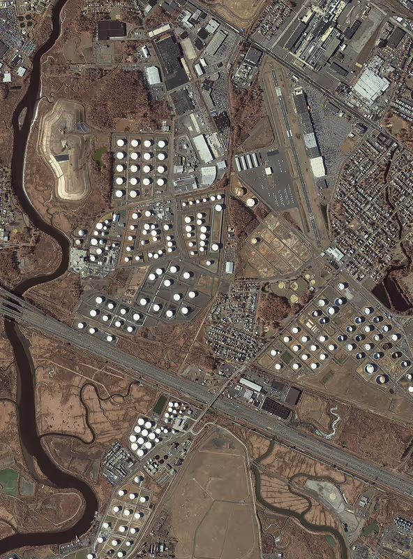
See for yourself how the NSG UP42 platform works