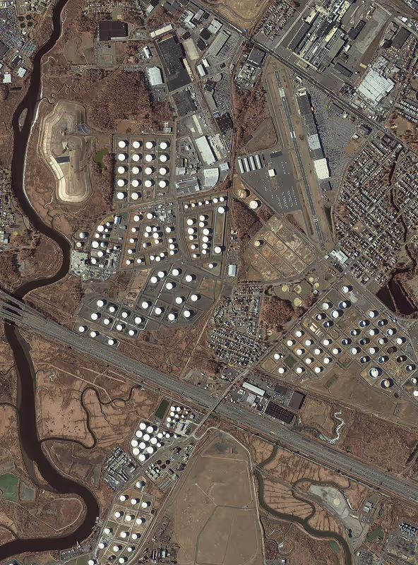
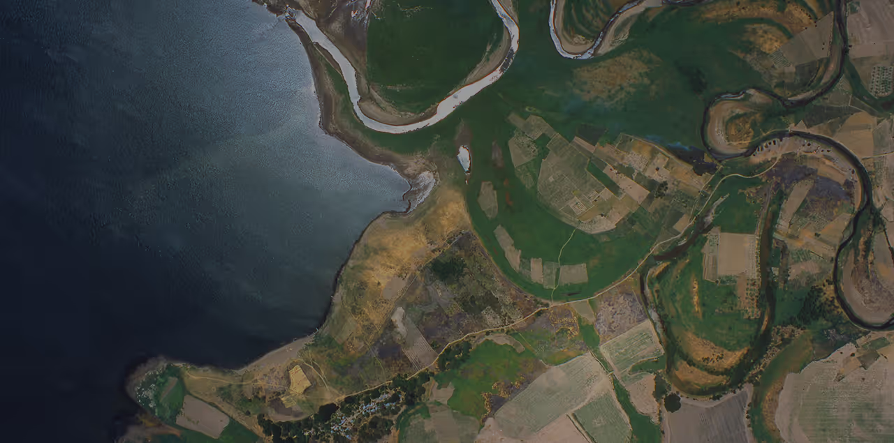
Access imagery throughout the visible and near-visible spectrum. In up to 30 cm resolution or 15 cm pansharpened, with data from Vantor (formerly Maxar), BlackSky, Planet, Satellogic, Axelspace, 21AT, and more.
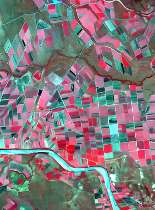
Access hyperspectral imagery (up to 5 m resolution) from companies like Pixxel and Wyvern, to distinguish spectral signatures with a higher degree of accuracy than other imaging methods.
Synthetic Aperture Radar, or SAR, captures radar images at any time of the day or night. SAR sensors can also penetrate cloud and smoke cover. Resolution up to 25 cm, with data from Capella Space, ICEYE, Synspective, Umbra, and more.
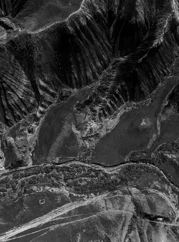
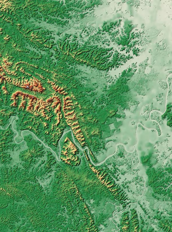
Elevation data creates 3D representations of the Earth's surface, with or without surface features like trees and buildings. Available in resolutions of up to 50 cm, with data from Vantor and Intermap.